Central Austin Urban Trails
Walk-to trails from Austin's most established central neighborhoods - no car needed
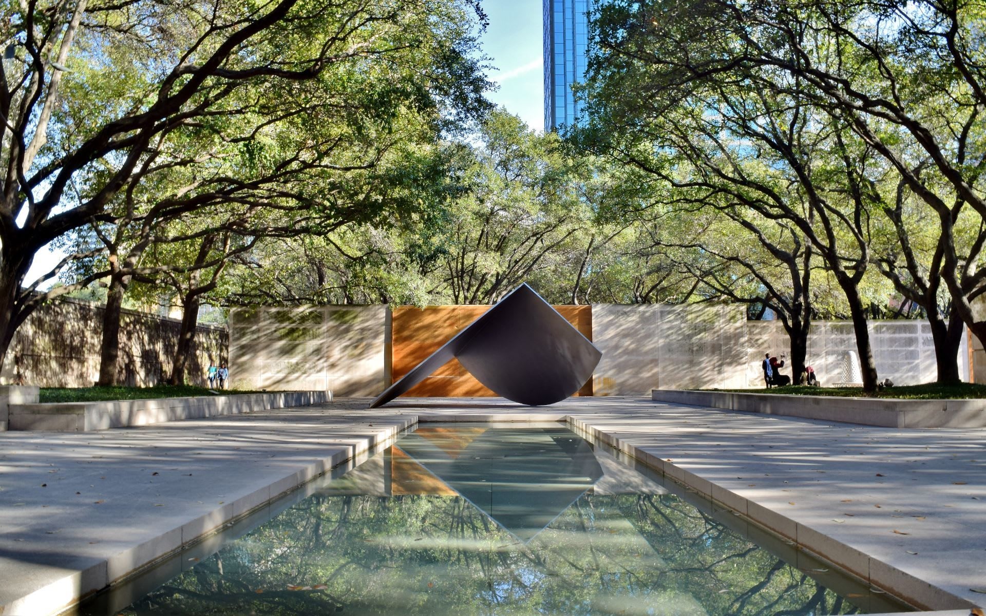
#1 ABoR Team 2024$1B+ Career Sales1,000+ Homes Sold
Central Austin has a trail network that most cities would put in a state park, except here it runs through residential neighborhoods. Shoal Creek Trail connects Hyde Park to Lady Bird Lake on a 4-mile paved path. Bull Creek Park has swimming holes 15 minutes from the Domain. Mount Bonnell - the most famous viewpoint in Austin - sits at the back of a Tarrytown subdivision. This is what makes central Austin neighborhoods command the prices they do. In Northwest Hills, you can walk your kids to Bull Creek after school. In Tarrytown, Mount Bonnell is a morning jog. In Old Enfield, Pease Park is the backyard. For buyers who prioritize walkable outdoor access over lot size, central Austin delivers in a way that suburban neighborhoods simply cannot match.
Trail Map
Shoal Creek Trail
Highlights
- Paved hike-and-bike trail from Lady Bird Lake north to 38th Street
- Runs through Pease Park's pecan groves
- Functional commuter route - connects central neighborhoods to downtown
- Recently improved with new bridges and lighting
Parking
Multiple street access points. Best parking at Pease Park (Parkway and 12th) or Shoal Creek Blvd near 38th.
Local Tip
Shoal Creek Trail is as much a commuter route as a recreation trail. Cyclists use it daily to get from Rosedale and Hyde Park to downtown, avoiding Lamar traffic. The section through Pease Park is the most scenic.
Mount Bonnell
Highlights
- Highest point in Austin city limits at 775 feet
- Panoramic views of Lake Austin, the 360 bridge, and the Hill Country
- 99 stone steps to the top
- Austin's most iconic viewpoint since the 1850s
Parking
Small lot at the top of Mount Bonnell Road. Extremely limited - maybe 15 spots. Go early morning or at sunset on weekdays.
Local Tip
The main overlook gets all the visitors, but continue past it on the trail to the right for additional viewpoints that face west over Lake Austin. Far fewer people and better sunset angles.
Bull Creek Park & Greenbelt
Highlights
- Multiple swimming holes along Bull Creek
- Limestone creek bed with natural wading pools
- Dogs allowed and it is the most popular dog swimming spot in north Austin
- Connected trail system through wooded canyon
Parking
Bull Creek District Park on Lakewood Drive or the upper trailhead on Loop 360. The lower park has the swimming holes.
Local Tip
The swimming holes below the Loop 360 bridge are the deepest. Walk upstream from the lower parking lot for about 10 minutes to find pools with less foot traffic. Water quality is better here than Barton Creek because of less upstream development.
Mayfield Park & Nature Preserve
Highlights
- Free-roaming peacocks throughout the park and cottage gardens
- Nature preserve trails wind through juniper woodland to Lake Austin
- One of the quietest parks in central Austin
- Historic stone cottage and ponds
Parking
Free lot at Mayfield Park on West 35th Street. Overflow on the street.
Local Tip
The nature preserve trails behind the cottage are almost unknown. They drop down to the shores of Lake Austin through old-growth juniper. Most visitors stay in the garden area with the peacocks and miss the actual hiking.
Red Bud Isle
Highlights
- Small island in Lady Bird Lake connected by a land bridge
- Off-leash dog park with water access
- Bald eagle nesting site - pair has been here since 2019
- Quiet and removed despite being minutes from downtown
Parking
Small lot at the end of Red Bud Trail. Fills quickly on weekends. No overflow - if the lot is full, you need to come back.
Local Tip
A pair of bald eagles nests in the tall trees on the island. Bring binoculars and look up. The nesting season is October through March. Keep dogs away from the nesting area signs.
St. Edwards Park
Highlights
- Bull Creek canyon with swimming holes and small waterfalls
- Less crowded alternative to Barton Creek Greenbelt
- Trail follows the creek through a narrow limestone canyon
- Old homestead ruins visible along the upper trail
Parking
Spicewood Springs Road trailhead. Small gravel lot.
Local Tip
St. Edwards is what the Barton Creek Greenbelt was like 20 years ago - actual solitude on a creek trail. The swimming holes are smaller but you will often have them to yourself on weekday afternoons.
Bright Leaf Preserve
Highlights
- 196-acre preserve with Hill Country grassland and oak woodland
- Golden-cheeked warbler habitat - one of the few urban nesting sites
- Wildflower displays in spring along the ridgeline trails
- Views of the Colorado River valley from the high points
Parking
Trailhead at the end of Bright Leaf Trail off Great Northern Blvd. Very limited.
Local Tip
This preserve is barely marked and most Austinites have never heard of it. The ridgeline trail in late March has wildflower fields that rival anything in the Hill Country. Bring water - there is no shade on the upper sections.
Waller Creek Greenbelt
Highlights
- Newly restored urban creek trail from UT campus to Lady Bird Lake
- Waterloo Park and the Moody Amphitheater
- Public art installations along the creek
- Connection from Hyde Park and UT area to downtown and the lake
Parking
Street parking along Red River Street or Waterloo Park garage.
Local Tip
The Waller Creek restoration turned a neglected drainage ditch into a genuine urban trail. It is the best walking route from the UT area to downtown and the lake, cutting through Waterloo Park instead of fighting traffic on Congress.
Nearby Neighborhoods
Looking for a home near these trails? These neighborhoods have the best access.
Northwest Hills
Walk to Bull Creek Park and Bright Leaf Preserve
Cat Mountain
5 min to Bull Creek, 10 min to Mount Bonnell
Tarrytown
Walk to Mount Bonnell, Red Bud Isle, and Mayfield Park
Old Enfield
Walk to Pease Park and Shoal Creek Trail
Hyde Park
Walk to Shoal Creek Trail and Waller Creek
Rosedale
Walk to Shoal Creek Trail and Pease Park
Highland Park West
Walk to Mayfield Park and Red Bud Isle