
Barton Creek Greenbelt Complete Guide
The seven official trailheads, parking, and swimming holes on Austin's Barton Creek Greenbelt
#1 ABoR Team 2024$1B+ Career Sales1,000+ Homes Sold
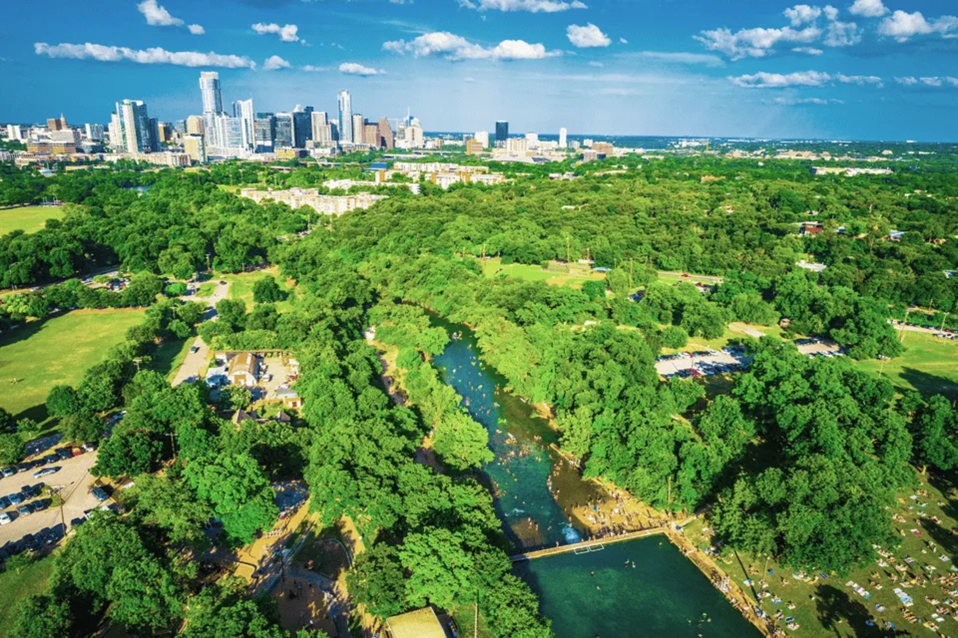
The Barton Creek Greenbelt runs through a limestone canyon in West Austin, with more than 12 miles of trail and a 7.5-mile main trail reached from seven official trailheads (Austin Parks and Recreation). Hikers, swimmers, climbers, and mountain bikers share it, and endangered species including the golden-cheeked warbler and the Barton Springs salamander live along the creek. Water levels depend on recent rain and can change quickly, so the swimming holes are full some weeks and dry rock others. Below are the seven trailheads in order along the creek, with the parking and restroom details the city publishes for each. If you want to live near a particular trailhead, we can show you the homes closest to it.
Trail Map
Zilker / Barton Creek Greenbelt Trailhead
Highlights
- First trailhead along the main trail (mile markers 0-2)
- Barton Springs Pool is next door - spring-fed, averaging 68-70 degrees
Parking
2212 William Barton Dr. Parking lot, free on weekdays; $3 per hour on Saturdays, Sundays and holidays from the first Saturday of Spring Break through Labor Day (City of Austin). Restroom near Zilker Hillside Theater.
Local Tip
The lot is free on weekdays; from Spring Break through Labor Day, weekends and holidays are $3 per hour (pay station or the Park ATX app).
Spyglass / Barton Skyway Trailhead
Highlights
- Mile markers 0-2
- Campbell's Hole, a swimming hole on Barton Creek, is near this access
Parking
1601 Spyglass Dr. Street parking. One composting restroom about 0.07 miles from the trailhead.
Local Tip
Parking is on the street only; the restroom is a short walk from the trailhead.
Barton Hills School Park / Homedale Trailhead
Highlights
- Mile markers 0-2
- One of the few trailheads with a free parking lot
Parking
2009 Homedale Dr. Free parking lot at Barton Hills School Park; no restrooms.
Local Tip
There are no restrooms here; the Spyglass and Zilker trailheads have them.
Gus Fruh / Barton Hills Drive Trailhead
Highlights
- Mile markers 0-2
- About a quarter-mile walk to the Gus Fruh swimming hole (Austin Parks Foundation)
Parking
2632 Barton Hills Dr. Limited free street parking; no restrooms.
Local Tip
Parking is limited street parking in a residential area, so plan to arrive early and keep driveways clear.
Loop 360 Trailhead
Highlights
- Mile markers 2-4.5
- Dedicated free lot and restrooms
Parking
3753 S Capital of Texas Hwy northbound. Dedicated free parking lot with composting restrooms at the trailhead.
Local Tip
The terrain is rough and uneven; the city does not recommend road, cruiser, or commuter bikes.
Gaines Park / MoPac Trailhead - Twin Falls Access
Highlights
- Mile markers 2-4.5
- The city's listed access for Twin Falls
- Sculpture Falls is also on this stretch of Barton Creek
Parking
3918 S MoPac Expy southbound service road. Limited free street parking; no restrooms.
Local Tip
The falls only run when Barton Creek is flowing - check the USGS or LCRA Hydromet gauge before you go.
Trail's End / Camp Craft Road Trailhead - Hill of Life Access
Highlights
- Western end of the main trail (mile markers 4.5-7.5)
- The city's listed access for the Hill of Life
Parking
1712 Camp Craft Rd. Street parking, paid daily 8 a.m. to 8 p.m. Two composting restrooms about 0.05 miles from the trailhead.
Local Tip
Street parking here is paid from 8 a.m. to 8 p.m.
Nearby Neighborhoods
Looking for a home near these trails? These neighborhoods have the best access.
Zilker
Zilker trailhead about 0.3 miles from the neighborhood's center (straight line)
Barton Hills
Homedale trailhead at Barton Hills School Park; Gus Fruh trailhead on Barton Hills Drive
Rollingwood
Zilker and Spyglass trailheads about 1 mile from the city's center (straight line)
Lost Creek
Trail's End / Camp Craft trailhead about 1.5 miles from the neighborhood's center (straight line)
Rob Roy
Trail's End / Camp Craft trailhead about 2.5 miles from the neighborhood's center (straight line)